Ha Long Bay · Things to do
Ha Long Bay Map: Navigation & Tour Planning Guide
By Wander in Vietnam editorial team · Hanoi, Vietnam
Ha Long Bay's 1,969 limestone islands demand smart navigation. We break down what maps work, which tours avoid tourist traps, and how to time your visit for calm seas and clear skies.
Ha Long Bay is Vietnam's most visited UNESCO site—and its most confusing to navigate. The bay covers 1,553 square kilometers across Quang Ninh Province. Islands cluster so densely that even GPS units lag. Tourists arriving without a route plan waste time, miss the best kayaking spots, and overpay for last-minute bookings. This guide cuts through that.
What Type of Ha Long Bay Map Do You Actually Need?
You'll encounter four map categories, each solving a different problem. Printed waterproof charts (sold at Halong City port shops for around 60,000–120,000 VND / $2.50–$5) work if you're hiring a private speedboat and your skipper knows the bay. For cruise passengers, don't buy these—your tour operator includes digital or printed route cards. Offline smartphone maps (Google Maps, Maps.me) download fine but lose detail beyond Cat Ba Island; marine apps like Navily or Windy cost $4–$15/month but show live wind, current, and tidal gates (critical for limestone passages). Free PDF downloads of official bay charts exist but aren't updated annually. The honest choice: use your cruise operator's included map first; download a backup offline app if you're island-hopping solo.
🗺️ Plan your route: Vietnam itinerary
Which Tours Give You the Most Useful Navigation?
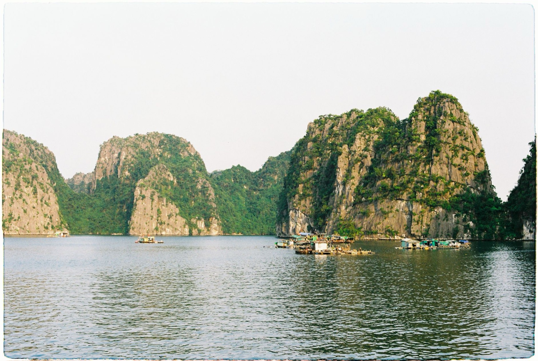
Tour quality splits into three tiers. Budget overnight cruises (staying in Halong City's floating hostels, 1.2–1.8 million VND / $48–$72 per person) follow fixed routes with 40+ passengers; you see Surprise Cave and Titop Island but miss hidden coves. Mid-range 2–3-day cruises (2.5–4 million VND / $100–$160) offer slower pace and smaller groups (12–20 people), letting guides navigate to less-crowded limestone formations like Dau Go and Me Cung caves. Premium private boats (5–8 million VND+ / $200+) let you choose your own stops—ask specifically for Yen Cave, Cat Ba Island's Monkey Island, or Van Phuc village (fishing community tours often included). Check tour descriptions for "flexibility" or "custom stops"—if the itinerary is locked in the booking, it's fixed-route. Ask the operator's confirmation email: how many caves, how many kayak hours, how many anchor stops. This matters because tides close limestone passages between 11 a.m.–2 p.m. (boats reroute, and you lose 1–2 hours). Good operators mention this; poor ones don't.
Should You Buy a Physical Waterproof Map or Go Digital?
This depends on your internet access and boat type.
| Map Type | Best For | Cost | Pros | Cons |
|---|---|---|---|---|
| Printed waterproof chart | Private boat rental, skippers | 60k–120k VND ($2.50–$5) | Works without battery; skipper knows landmarks | Outdated; no tidal/weather data; bulky |
| Google/Apple offline maps | Solo travelers, general reference | Free | Familiar interface; GPS works | Loses detail beyond Cat Ba; no marine data |
| Marine app (Navily, Windy) | Sailing enthusiasts, yacht renters | $4–$15/month | Live wind, current, depth contours | Subscription cost; steep learning curve |
| Tour operator's included map/app | Cruise passengers (most tourists) | Included in ticket | Most accurate for your exact route; staff explain it | Limited beyond that cruise; doesn't help solo exploration |
| PDF official charts (Halong Bay authority) | Boaters who want depth/navigation detail | Free online | Authoritative; detailed seabed | Static; rarely updated; hard to read on phone |
Reality check: 85% of cruise passengers never look at a map during the tour. The guide does the navigation. You watch. This is fine if you're on an organized cruise. If you're renting a private boat, skipping the printed chart is a safety risk—your skipper needs it, even in calm conditions.
🎟️ Compare tours & tickets for this place
When (and Why) Maps Fail in Ha Long Bay
Common failures happen at specific times. High tide (8 a.m.–11 a.m., 3 p.m.–6 p.m.) swells squeeze narrow channels between islands; GPS pins show but water blocks passage. Maps don't note this. Monsoon season (May–September) brings 2–3 meter swells; even "safe" routes become rough. Winds flip daily. Maps show routing but not sea state. Most GPS units also lag in the bay's northern reaches near China border. Tourist boats avoid that area anyway, but if you're island-hopping independently, expect dead zones around 20 km north of Halong City.
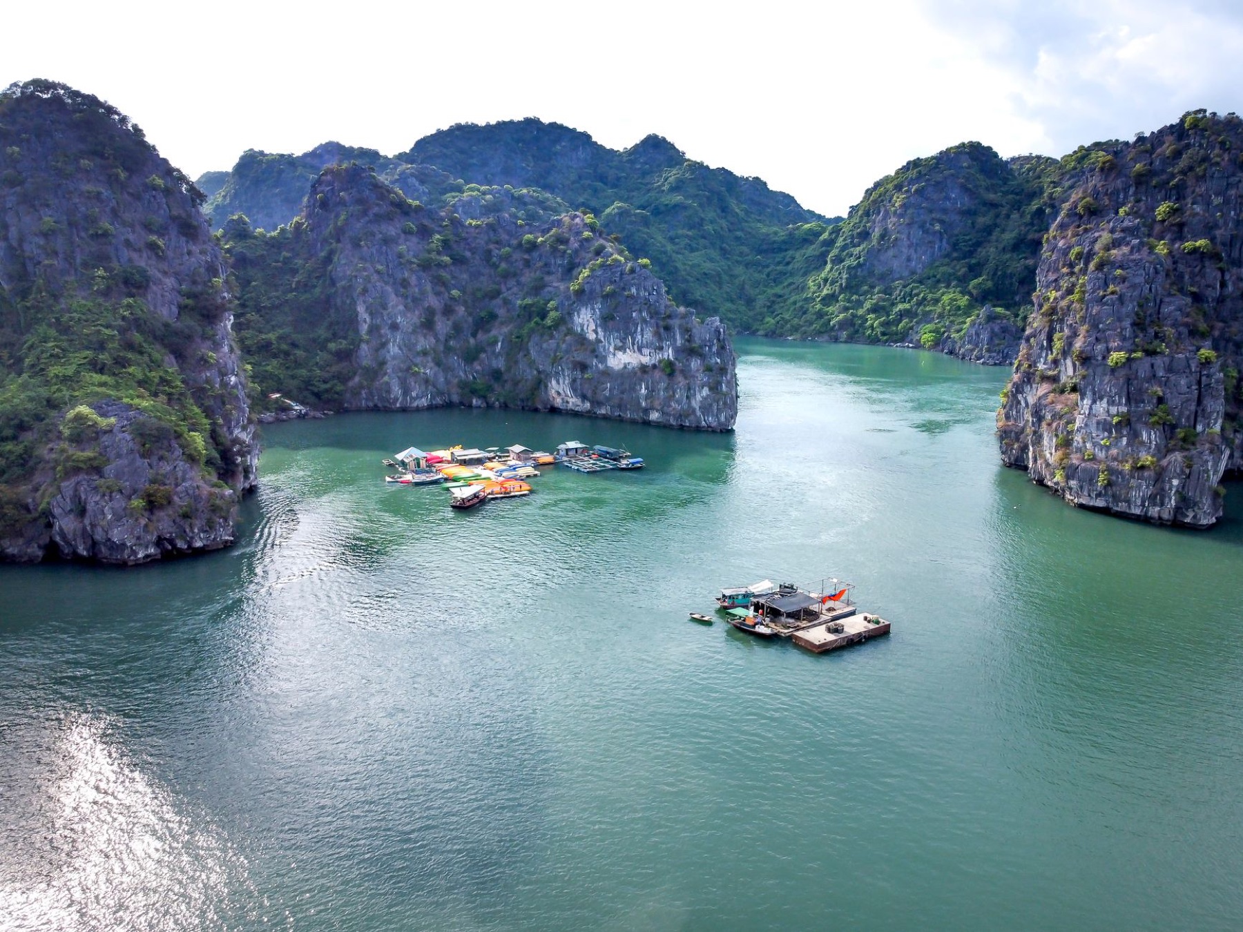
Another failure: maps don't show fishery restriction zones. You can legally cruise near fishing villages, but overnight anchorages near Van Phuc or Cua Van are regulated. Rogue tour operators ignore this to save fuel. The solution: ask your tour operator in advance, "Which villages can we anchor near overnight?" Their answer reveals if they follow regulations.
Last failure: printed maps age fast. Halong Bay's tourism infrastructure changes yearly—new docks on Titop Island, relocated cave entrances after rockfalls, new kayak drop-offs. A 2023 map might show an old dock. Always ask your operator, "What changed since my map was made?" Honest ones tell you.
What to Check Before Ordering Your Map or Booking a Tour
Before you buy any printed map or book a cruise, verify five things:
- Update date. Printed charts should be less than two years old. Ask the seller.
- Coverage scope. Does it show the whole bay or just tourist zones? For casual cruising, tourist-only is fine. For sailing, you need the full 1,553 km² basin.
- Tidal data included. If the map or itinerary doesn't mention tides, the tour is skipping critical planning. Push back.
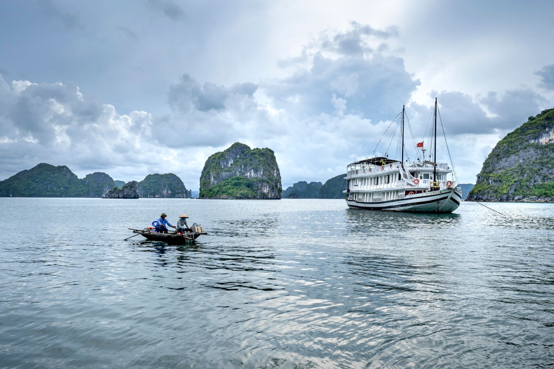
- Your boat type. Large cruise ships (500+ passengers) ignore small-boat navigation rules. Mid-size vessels (50–150 passengers) follow standard routes. Private boats need the most detailed maps because routes are custom.
- Operator's communication. Did they answer your "which specific islands/caves?" question in writing? If they said "standard route," expect fixed itinerary. If they said "we'll adjust based on sea state and your interests," they're flexible and trustworthy.
Honest advice: Most tourists overthink maps. Your operator's guide is your real map. What matters is choosing a mid-range tour (not budget, not ultra-luxury) that includes kayaking, limits group size to under 20, and explicitly says "lunch on island" or "visit working fishing village." These decisions beat any navigation detail.
Nearby Guides & Resources
Halong Bay is a day trip from Hanoi (2.5 hours) but worth 2–3 days. If you're routing your Vietnam trip, check our Hanoi guide for preparation (book tours in advance, get visa sorted), and our Ha Long Bay guide for accommodation options and weather windows. Planning a multi-destination trip? Use the Vietnam itinerary planner to avoid backtracking. Guests often combine Halong with Ninh Binh caving (2 hours south) or Sapa trekking (4 hours northwest, good for cooler weather Oct–Mar).
If you're staying longer in Hanoi and want to commemorate your bay visit, our sister studio Cáo Studio offers ao dai photoshoots in Hanoi—traditional Vietnamese dress with Halong Bay itself as backdrop (arranged as a separate Hanoi-based session; some tourists do this before or after their cruise for keepsake portraits).
📸 Book an ao dai photoshoot in Hanoi or Saigon (Cáo Studio)
Gift Ideas for the Halong Bay Traveler
If you're buying for someone who just returned from the bay or is about to depart, consider personalized keepsakes that actually help navigation or memory-keeping. Our star map collection lets you print the night sky visible from Halong Bay on the date of your cruise—a subtle, non-touristy memento. The custom maps collection includes hand-drawn bay route illustrations; some travelers order these before departure as a trip-planning ritual. Our travel photo print collection works if they took good shots of the limestone formations.
Avoid generic "I love Ha Long" t-shirts or mass-produced bay calendars. Instead, give something they made—a personalized map, a star map from their cruise date, or a hand-bound travel journal. These cost 300k–800k VND ($12–$32) and outlast any souvenir.
🗺️ Plan your route: Vietnam itinerary
Final Navigation Reality
The best Ha Long Bay map is your cruise operator's included itinerary card. The second-best is your phone's offline Google Map. Everything else (fancy marine apps, printed charts, expensive guides) is optional unless you're sailing a private boat. What matters is choosing a tour operator who communicates clearly, limits group size, and includes kayaking and a cave visit—and visiting between September and March (clearer skies, calmer water, less rain). A good map in the hands of a poor-quality tour wastes time. A vague map with an excellent operator makes for a perfect day.
FAQ
Can I download a free Ha Long Bay map before arriving in Vietnam?
Yes—Google Maps and Maps.me work offline. Download both before you fly. Google loses detail north of Halong City; Maps.me is more reliable for the whole bay. Marine-specific apps like Navily require subscription and internet to initialize, so skip them unless you're sailing.
What's the most common map mistake tourists make?
Booking a tour without asking how many caves and kayak hours are included. Maps show cave locations but don't show if your tour actually stops there. Always email the operator: "Which specific caves and islands does your itinerary visit?" Bad operators ignore this question; good ones answer within 2 hours.
Do I need a map if I'm on an organized cruise?
No. Your guide navigates and explains. Keep a map for personal reference (weather, tides, location names), but it won't affect your experience. The guide is your real navigation system.
Is the printed waterproof map from Halong City port worth buying?
Only if you're hiring a private skippered boat. For cruise passengers, no—your operator includes everything you need. If you do buy one, check the print date first. Maps older than two years show outdated dock locations.
Why do some tour operators mention tides and others don't?
Good operators plan around tidal gates (limestone passages that flood/drain seasonally). Poor operators run fixed routes regardless of sea state. If their website or confirmation email doesn't mention tides, they're either inexperienced or rushing groups through. That's a yellow flag.
FAQ
Can I download a free Ha Long Bay map before arriving in Vietnam?
Yes—Google Maps and Maps.me work offline. Download both before you fly. Google loses detail north of Halong City; Maps.me is more reliable for the whole bay. Marine-specific apps like Navily require subscription and internet to initialize, so skip them unless you're sailing.
What's the most common map mistake tourists make?
Booking a tour without asking how many caves and kayak hours are included. Maps show cave locations but don't show if your tour actually *stops* there. Always email the operator: "Which specific caves and islands does your itinerary visit?" Bad operators ignore this question; good ones answer within 2 hours.
Do I need a map if I'm on an organized cruise?
No. Your guide navigates and explains. Keep a map for personal reference (weather, tides, location names), but it won't affect your experience. The guide is your real navigation system.
Is the printed waterproof map from Halong City port worth buying?
Only if you're hiring a private skippered boat. For cruise passengers, no—your operator includes everything you need. If you do buy one, check the print date first. Maps older than two years show outdated dock locations.
Why do some tour operators mention tides and others don't?
Good operators plan around tidal gates (limestone passages that flood/drain seasonally). Poor operators run fixed routes regardless of sea state. If their website or confirmation email doesn't mention tides, they're either inexperienced or rushing groups through. That's a yellow flag.